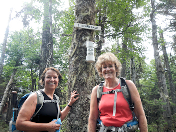
East Kennebago
Submitted by Pat
Stats
Mountain: East Kennebago (3,791)
Date: July 30, 2012
Time: 3.25 hours
Weather: Partly sunny, humid, 70's
Miles: 4.05
Elevation Gain: 1,389
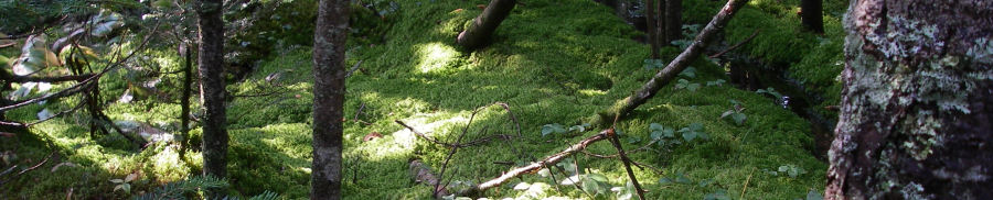
Trail: Logging roads and herd path
 The directions we got from the web, and our interpretation of them, for climbing East Kennebago the first time were not helpful. This time around there is no logging mess to slog through and no bushwhack. We hike passed the logging mess and keep going. That's where we screwed up the first time. We didn't go far enough. It's actually a real path, bordered closely on both sides by thick pines. We walk until we reach the cairn and see the yellow boundary swath marker and head left up the herd path. The directions we got from the web, and our interpretation of them, for climbing East Kennebago the first time were not helpful. This time around there is no logging mess to slog through and no bushwhack. We hike passed the logging mess and keep going. That's where we screwed up the first time. We didn't go far enough. It's actually a real path, bordered closely on both sides by thick pines. We walk until we reach the cairn and see the yellow boundary swath marker and head left up the herd path.
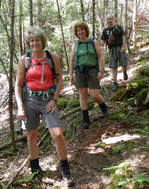
We follow the boundary swath until it ends and we connect with a herd path. I am leading. I lose the path a few times - around blowdowns and such - but manage to find it again each time. It's steep and we are sweating, but the bugs stay away and that's a huge relief.
At the summit we enjoy eating lunch as we read the summit log. This is the first time we haven't been driven off the summit by insects. It feels wonderful to be able to take a break at the top. I think I want to explore and actually see where we summated last time, but in the moment it doesn't seem very important so I don't explore. The way down is a cinch - we follow the herd path to the ATV road and back to the car.
One the way home, we stop to look back at the mountain. Nancy points out that to the left of the summit is a dip that could have been where we went up the first time.
Since we arrive home at a decent hour, we make dinner and it is delicious. Bernie and Eileen and Nancy cook. I am on dish duty. Sitting outside on the deck enjoying steak tips marinated in Teriyaki, steak, baked potatoes and salad we are happy, smiling hikers. Tomorrow is a big hike day. Two mountains some distance apart, the longest day.
97 out of 100 Highest
|